
The main picture is a sketch by Eugene von Guerard dated 1858.1 Von Guerard was an Austrian-born artist who came to Australia in 1852 to try his luck on the Victorian Goldfields. He failed there, but went on to produce a large body of very finely detailed works which are an important historical record.

The view is from the bank near the end of Mitchell Avenue looking downriver.
Is Von Guerard’s picture how the landscape looked before the Europeans arrived? Probably not entirely.
Whalers and sealers had been visiting along the coast since the early 1800s and the Henty brothers moved into the Portland Bay area in 1834. Rapid settlement and expansion followed without any authorities being aware. Major Thomas Mitchell, the explorer, came down the Glenelg River to the coast in 1836 not expecting to bump into the Hentys2. By the 1840s and 50s, the squatter “runs” were under government control.
Settlers and the First Nations people had very different approaches to treatment of the land. Grazing, clearing, introduced plant species and the lapse of traditional mosaic burning must have had an effect. One of the Henty’s first letters asked for rabbits to be sent over! Nature Glenelg Trust’s Report on the Long Swamp Restoration3 gives a great account of the area’s history and landscape changes.
A Myth
There used to be a story, told to gullible visitors, that Major Mitchell named the Isle of Bags because he left flour bags on it to keep them safe from the Aborigines. Really? It’s pretty obvious from Von Guerard’s sketch that the Gunditjmara had the means to paddle over and help themselves. Mitchell’s journal4 says that they named it Isle of Bags because the rocks looked like flour bags.
A Monument
The Monument on the Isle is a bit hard to see these days but the vegetation gives nesting ducks wonderful cover and safety from cats and foxes. The inscription reads “Erected to the memory of Sir Thomas Mitchell who found and named the Glenelg River July 31st and Sandford and Nelson in August 1836”. The limestone and cement cairn was unveiled on September 6th 1930 by the Governor-General no less. A dance was held that night at Miller’s Barn to raise money to fence in the cairn. The party was very “gratifying”. The fence never happened5.
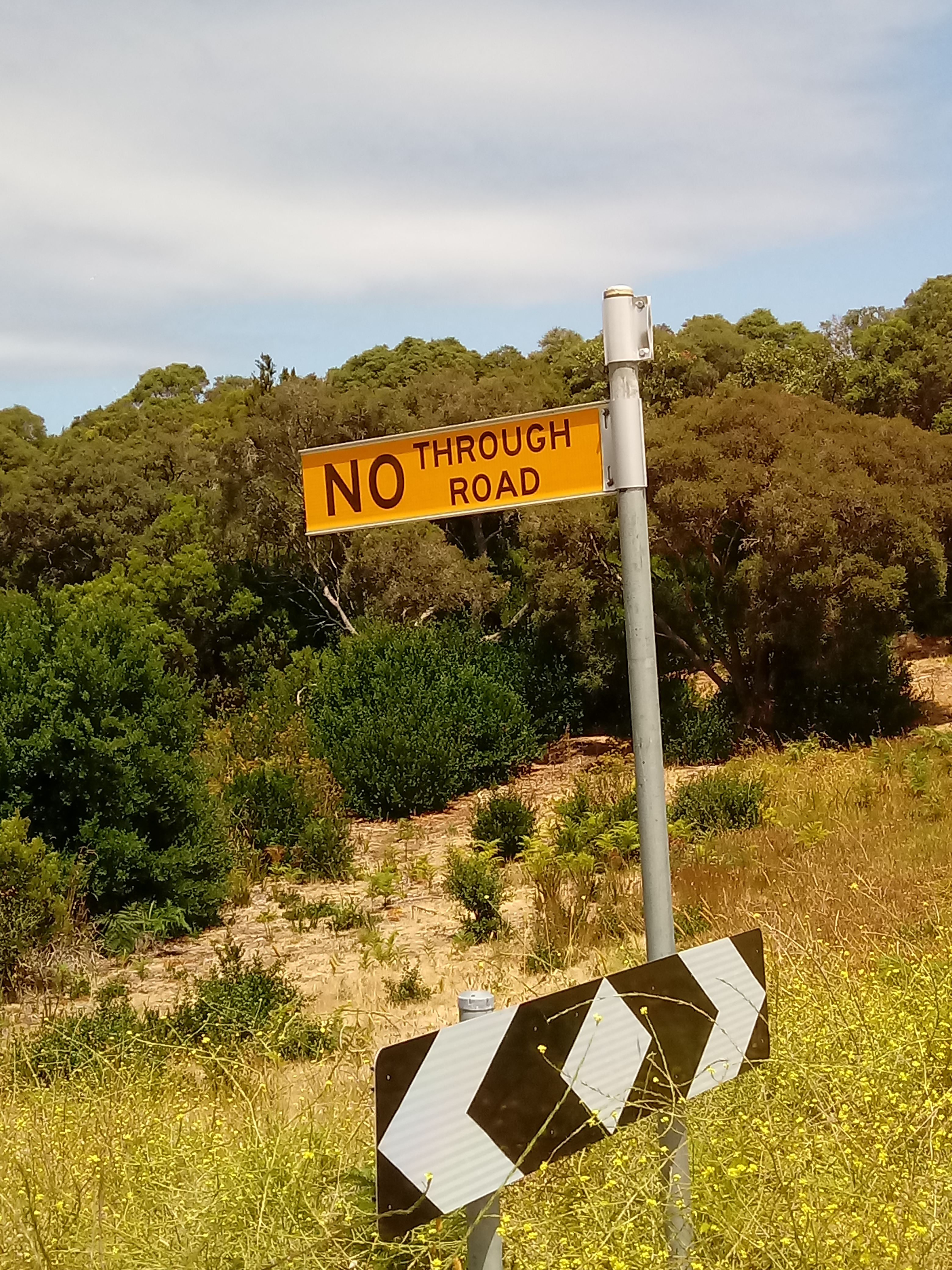
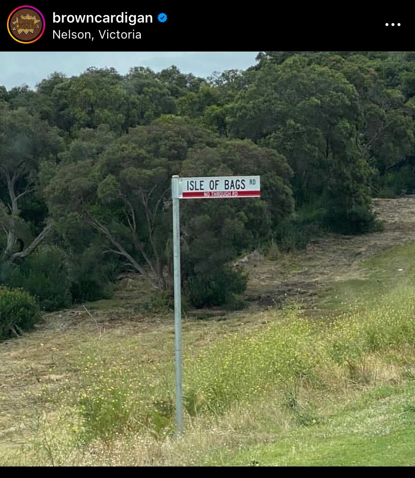
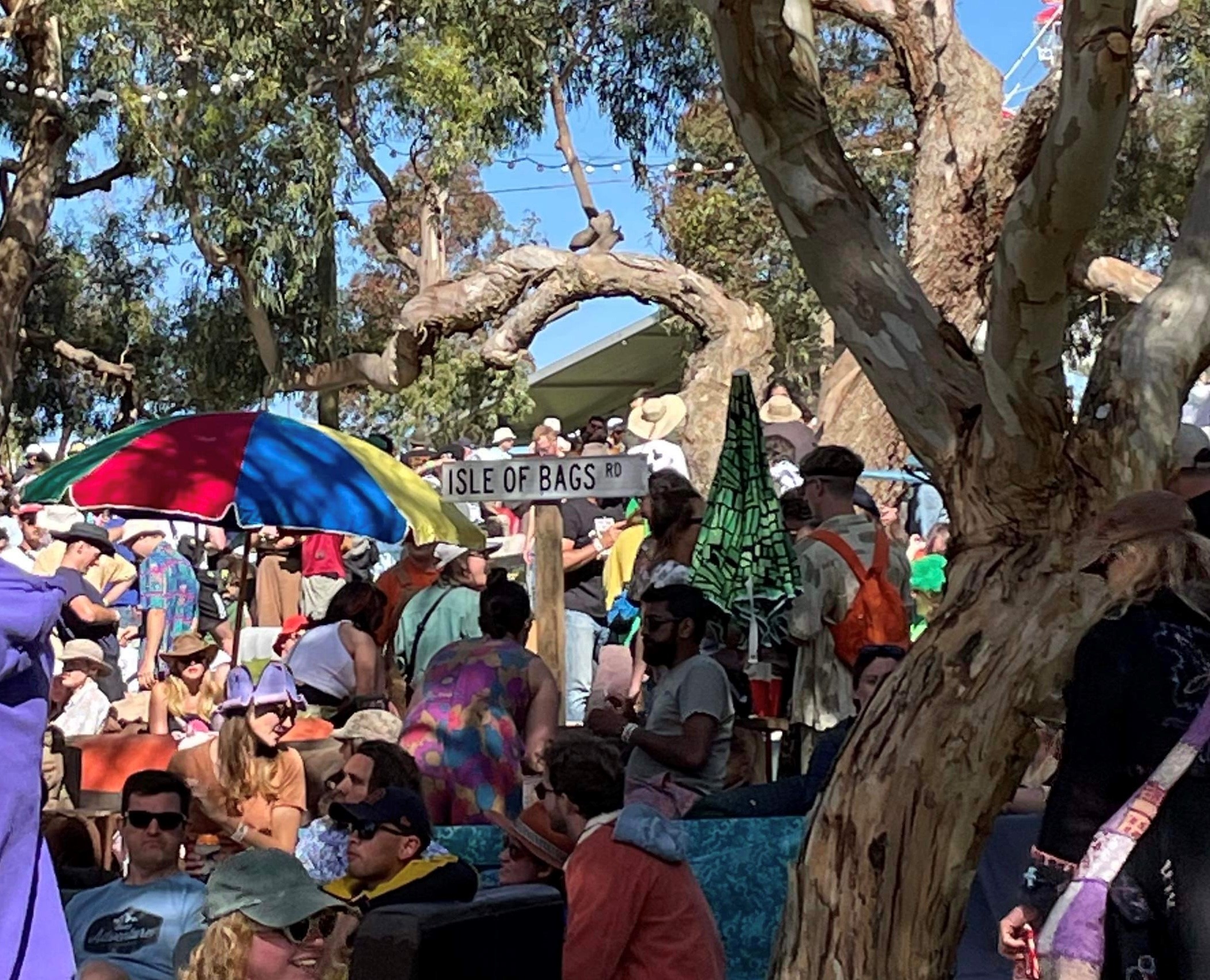
A Mystery
The Isle of Bags Rd street sign keeps disappearing. We may have found some clues. The Isle of Bags sign was featured on the browncardigan Instagram account in late 2020. Maybe they’ve become something of a fashion statement? There were two at the Meredith Music Festival in December 2022.

References
- South view of the River Glenelg near its mouth, 1858 – Eugene von Guerard – WikiArt.org
- Jodie Honan in Kevin Sparrow (2004) Plants of the Great South West, Second Edition 2014, Society for Growing Australian Plants Warrnambool & District Group Inc.
- Bachmann, M., Farrington, L. and Veale, L. (2018) Long Swamp Restoration Trial Evaluation Report: 2014-2017. An assessment of site history, restoration works, ecohydrological response and future management options. Prepared for the Glenelg Hopkins CMA, by Nature Glenelg Trust, Mumbannar, Victoria. NGT-Long-Swamp-Evaluation-Report-FINAL-10-03-2018-ISBN-Web-Version.pdf (natureglenelg.org.au)
- National Parks and Wildlife Division of Department of Conservation and Environment (1990), The Major Mitchell Trail-Exploring Australia Felix.
- Portland Guardian; 15/9/1930 Newspapers & Gazettes Home – Trove (nla.gov.au)
Story and Photos by M Styles and A Robson
